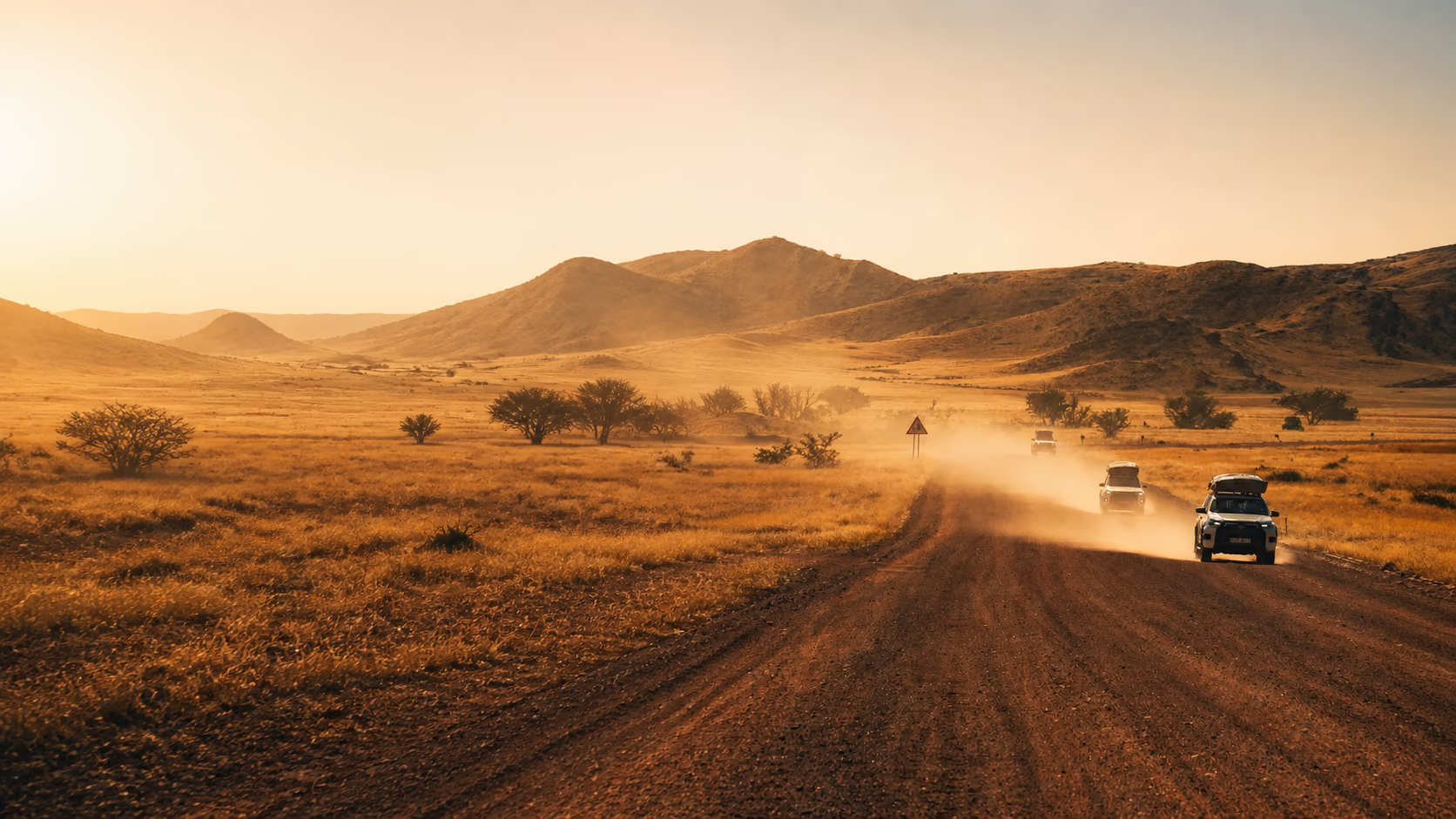
Windhoek → Damaraland
Arrival, supply checks and the first long north-western road. The landscape opens gradually before desert elephants and Twyfelfontein.
 msarchia
 Namibia / 15-day photographic roadbook
Fifteen days through dust, wildlife, granite, Atlantic fog and the Namib—planned as one continuous photographic road rather than a collection of isolated stops.
The principle
Remote landscapes reward decisions made before the horizon changes.
Fuel, road condition, distance and arrival time are part of the photographic process. The guide removes avoidable uncertainty so the journey can remain attentive when the light becomes brief.
Follow the five landscape chaptersThe itinerary
Arrival, supply checks and the first long north-western road. The landscape opens gradually before desert elephants and Twyfelfontein.
Wildlife timing gives way to granite, open camps and a westward crossing shaped around early and late light.
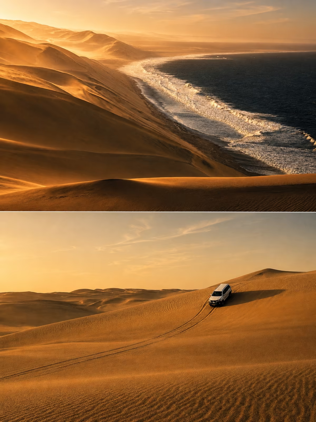
Ocean safari, coastal weather and Sandwich Harbour place water and sand inside the same photographic chapter.
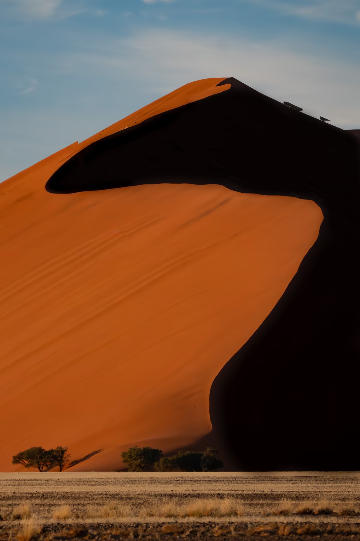
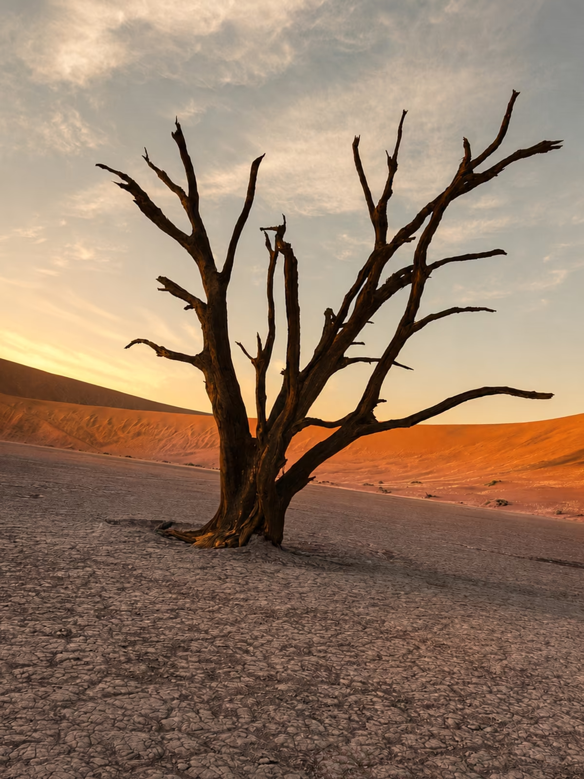
The route enters the Namib for Dune 45, the clay pan and an optional southern extension toward Kolmanskop and Lüderitz.
A measured return protects recovery, conservation time and the final departure instead of compressing the road into one last push.
Desert depth / scroll study
The layered scene follows the same logic as the route: the road moves first, the dune changes scale behind it, and the coast appears where the desert seems to end.

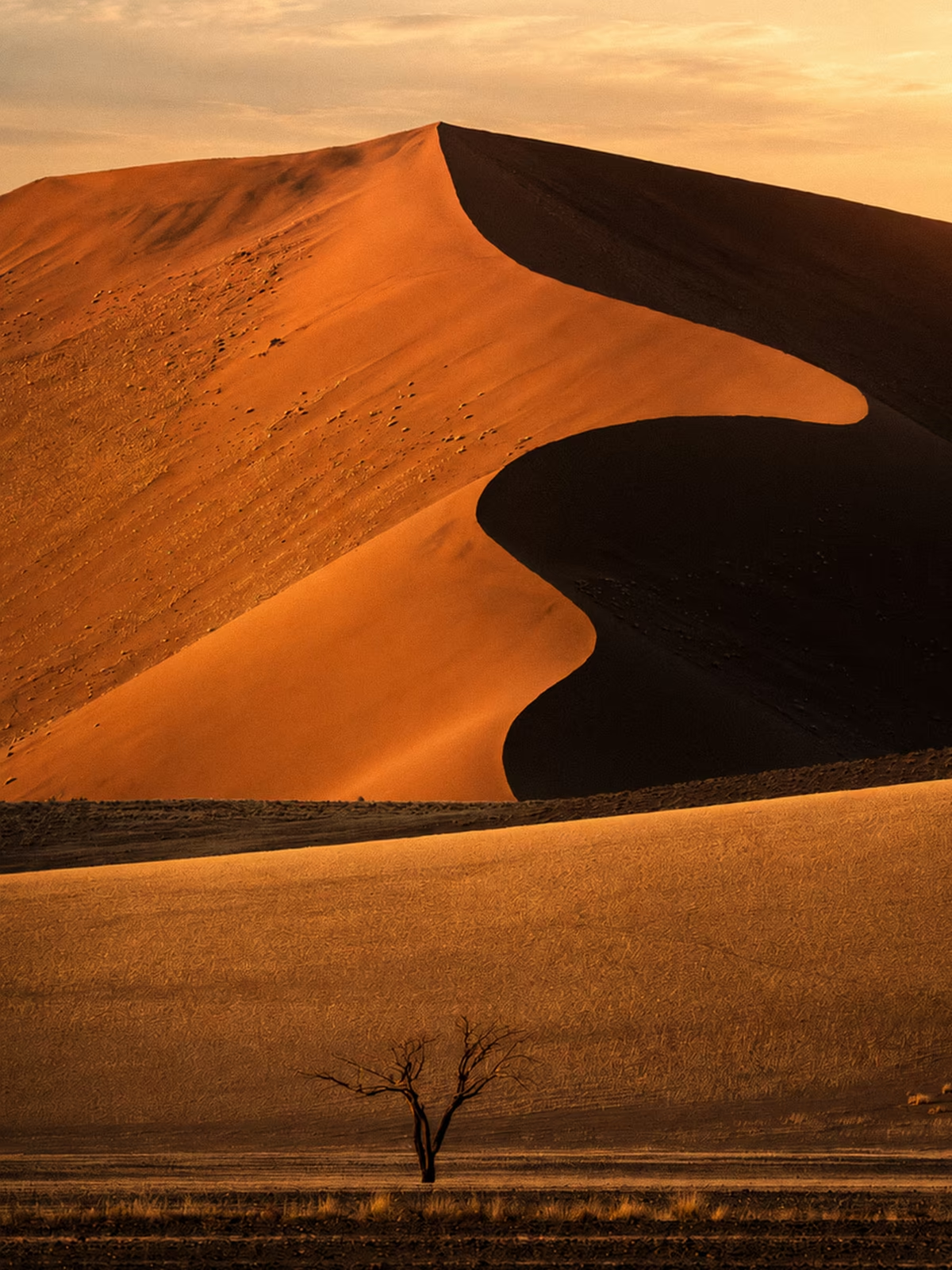
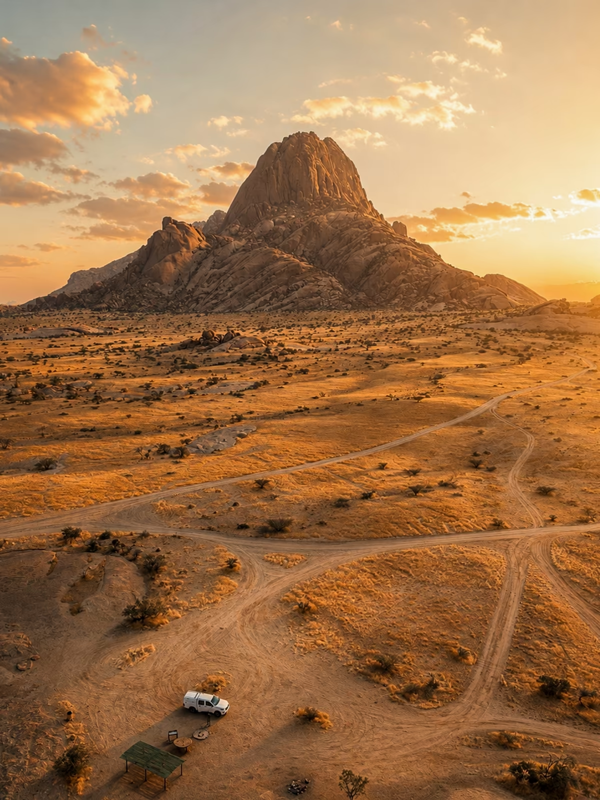
Etosha / observation before image
Waterholes and open salt-pan light reward patience. The itinerary protects the early and late windows when distance, dust and animal movement can share the same frame.
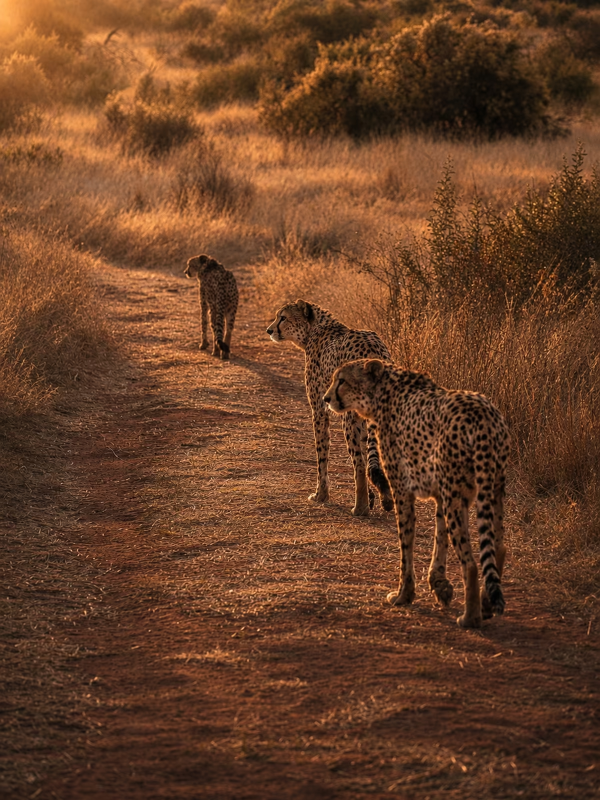

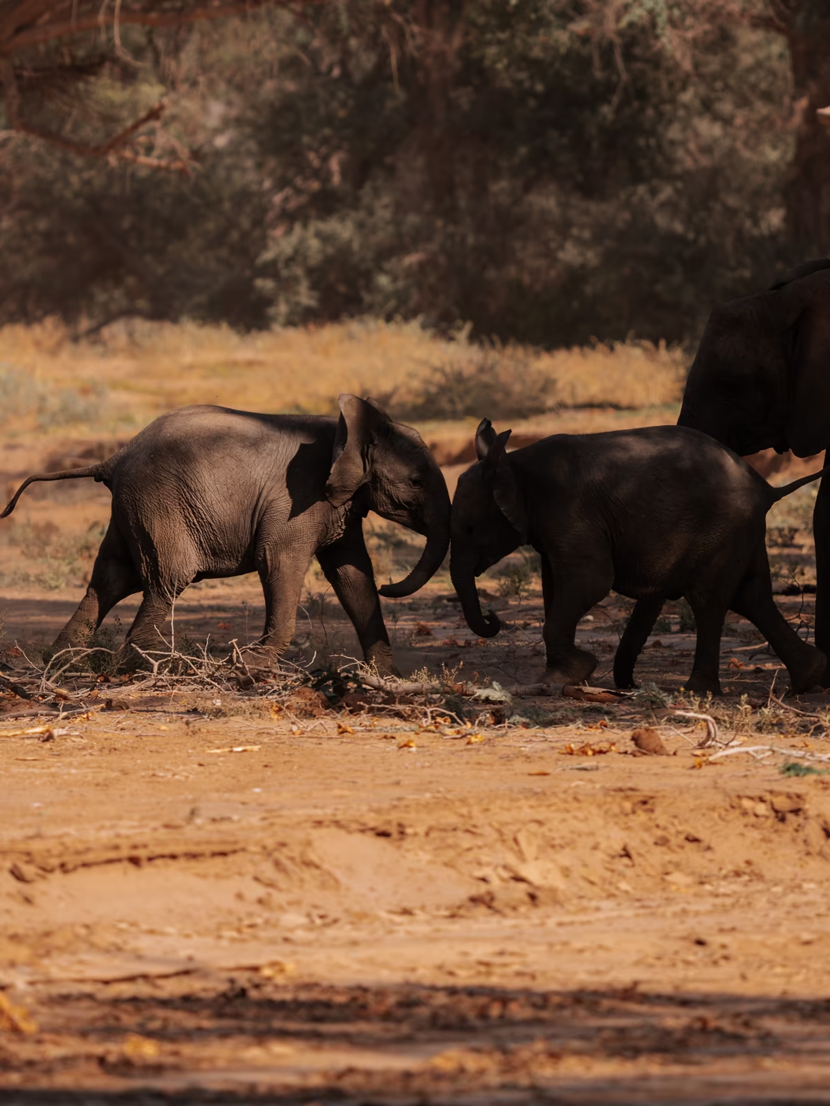
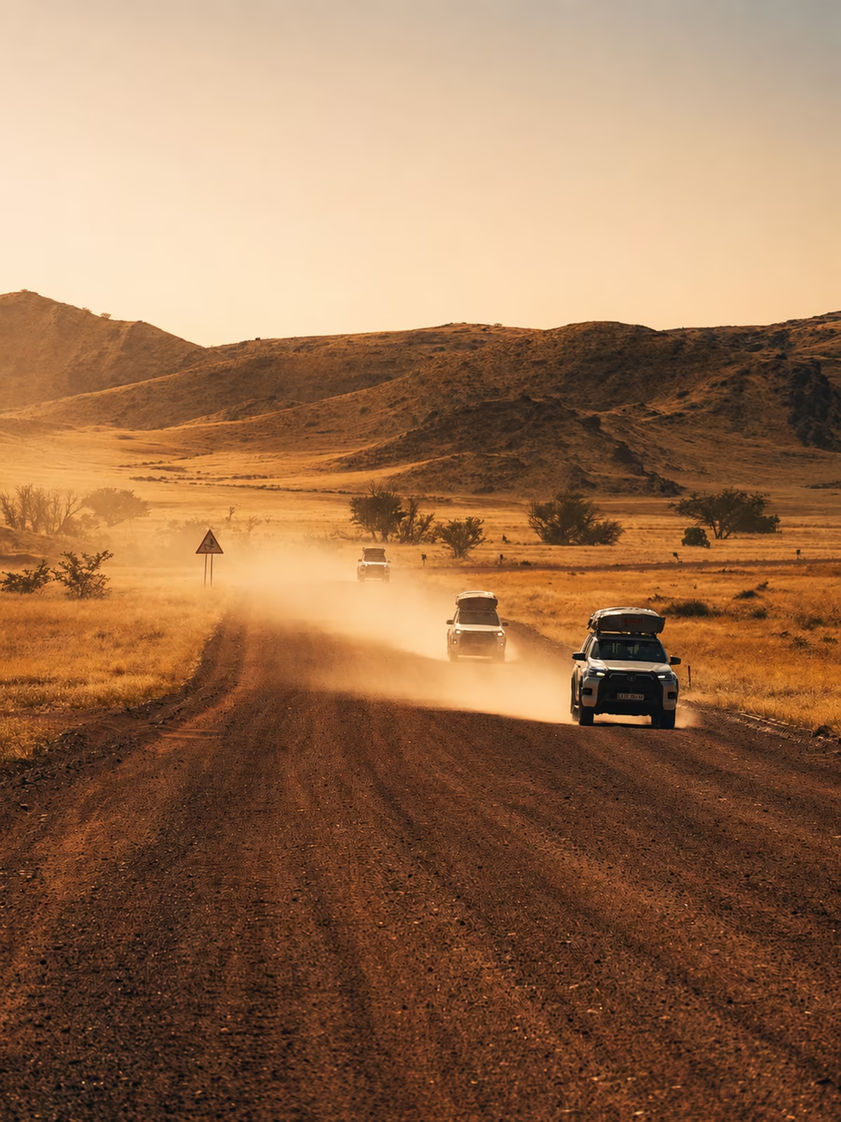
Damaraland / lived distance
The route is deliberately not a sequence of constant arrivals. Long roads, empty intervals and uncertain encounters give the final photographs a place inside a real journey.
Sandwich Harbour / two elements
Inside the package
The full planning system for route logic, day structure, visual references and the practical decisions behind the journey.
A field-ready companion designed for quick reference while moving between remote locations.
Viewpoints, timing, visual lessons and location context connected to the relevant day—not separated into a generic shot list.
Driving rhythm, fuel, safety, stays, budget and live-source reminders brought into one coherent system.
Fifteen days across Namibia
